- Description
- Question
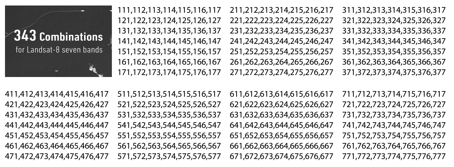
- Combinations
Let's try to find those common band combinations applied to Landsat-8!
Landsat-8 is the most recent earth observation satellite providing global coverage of the earth at a spatial resolution of 30 meters in visible, NIR, SWIR bands. When working with multispectral images, it enables us to reveal information that is beyond human vision. For example, the Near Infrared (NIR) wavelength is commonly used to distinguish vegetation varieties and conditions because vegetation gives a strong reflection in this portion of the electromagnetic spectrum.
Let's try hover your mouse cursor over the image to zoom into the Pearl River Delta!
Which band combinations show the following more clearly?
- Reservoir location
- Variation of turbidity in the reservoirs
- Vegetation distribution
- Built-up area location
Three bands are combined to form an image composite.
Different combination reveal different details.